Dune monitoring
Dunes play a crucial role in Northland’s ecosystem. They act as a natural defence against coastal erosion and are home to important plant and animal species.
By monitoring dunes, we can track their health, including vegetation cover, native plant populations, and the presence of pest species.
The Northland Regional Council (NRC) has been monitoring coastal sites across Te Taitokerau since 2017, with a total of 12 sites now being surveyed. This ongoing monitoring helps build a historical record of dune health and allows us to assess the effectiveness of dune restoration efforts.
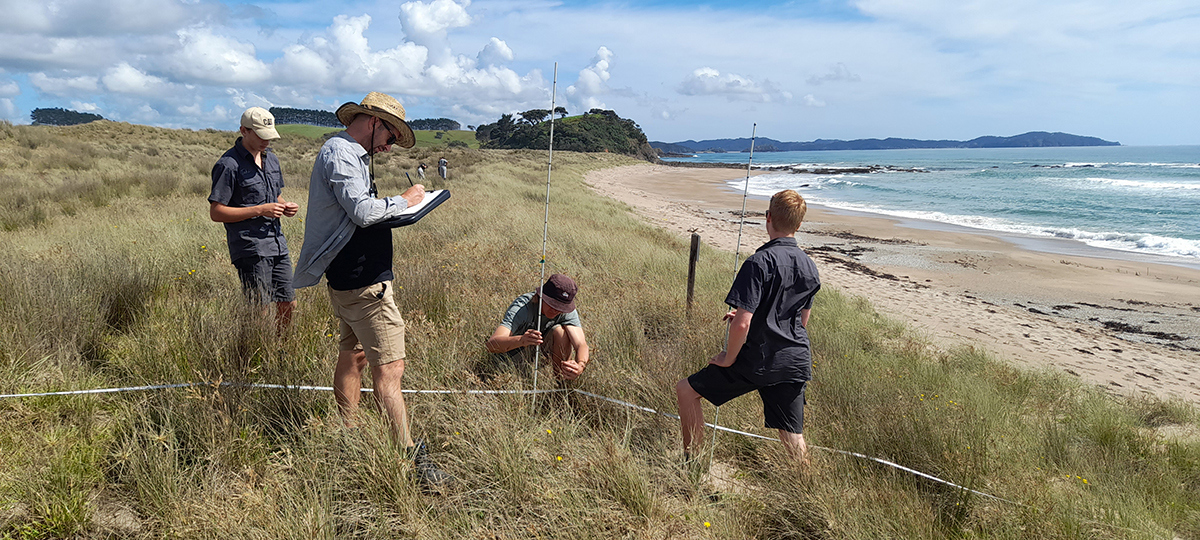
Dune monitoring at Pataua North.
To collect accurate data, we use a combination of transect lines and drone surveys, with a dedicated team to gather and interpret the information.
- Transect lines: These are marked survey lines that help our team take measurements at different points along the dunes. We record data on vegetation, plant species, and the shape of the dunes (called dune morphology).
- Drones: These provide an aerial view of the dunes, allowing us to track changes in dune shape over time and observe any movement or shifts.
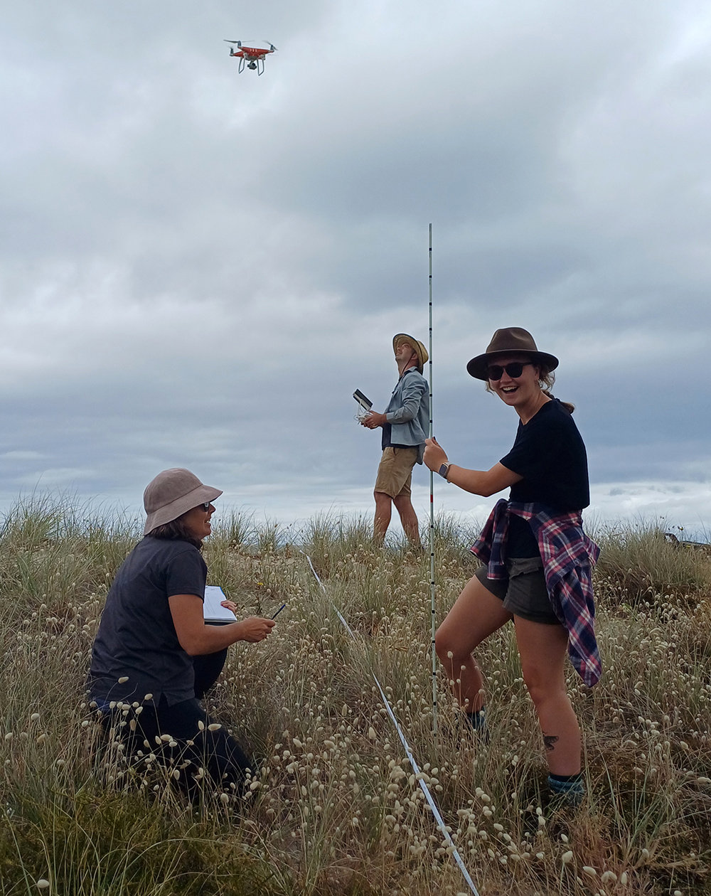
Dune monitoring using a drone.
The results of our dune monitoring are uploaded annually to the Coastal Restoration Trust's online database. You can access this data to explore the health of dunes across Te Taitokerau and the rest of Aotearoa. Check out the database here:
Want to help monitor Northland's dunes? We invite iwi, hapū, schools, families, and community groups to join in and contribute to the nationwide coastal monitoring efforts. To get started, contact the CoastCare team at: [email protected]
For more information, check out the following links: