Tsunami modelling
Here you'll find studies on the risk of tsunami inundation in Northland communities, and how you can be prepared.
Tsunami are long period waves, most often generated by displacement of the sea floor associated with earthquakes, volcanic eruptions or landslides.
Tsunami can cause devastation to coastal communities with potential for destruction of coastal infrastructure, property and loss of life from the powerful waves and their inundation of land.
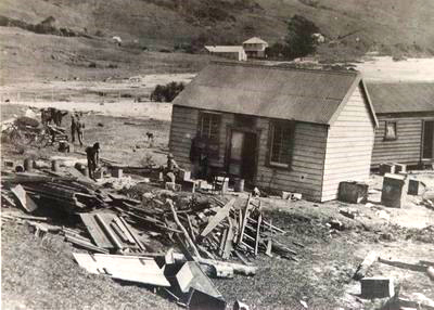
Damage from tsunami of unknown source to Berghan Family Store at Ahipara circa 1916 (Image: Far North Regional Museum).
In May 2023, Natural Hazards Commission Toka Tū Ake (NHC) initiated a project to update Northland tsunami evacuation maps with the Northland Civil Defence Emergency Management group (NCDEM) and Northland Regional Council (NRC).
This project delivered ‘level 4’ tsunami Inundation modelling (the current standard of modelling recommended in the Director’s Guidelines for Emergency Management Groups) to Te Taitokerau.
NRC and NCDEM have utilised ORCAS Coastal Consulting to complete the modelling and mapping work.
Their full report, "Tsunami Inundation Modelling for Evacuation Planning in Northland Final Report March 2025" is available below:
Important note: The report references Red, Orange and Yellow Zones. Northland uses a single evacuation zone: The Blue Zone (as per the Director’s Guidelines for Emergency Management Groups). This zone incorporates all three of these zones.
Consult with your local authorities and civil defence representatives to understand and better prepare for tsunami hazard - and get involved with your local community emergency response planning.
Find out about Community Response Plans and if your community has one:

Geophysical setting of the North Island showing two bathymetric wave guides to the northwest (the Chatham Rise acts as a wave guide to tsunamis approaching from across the eastern Pacific Ocean).
See more about this in the Tsunami Sources Study.